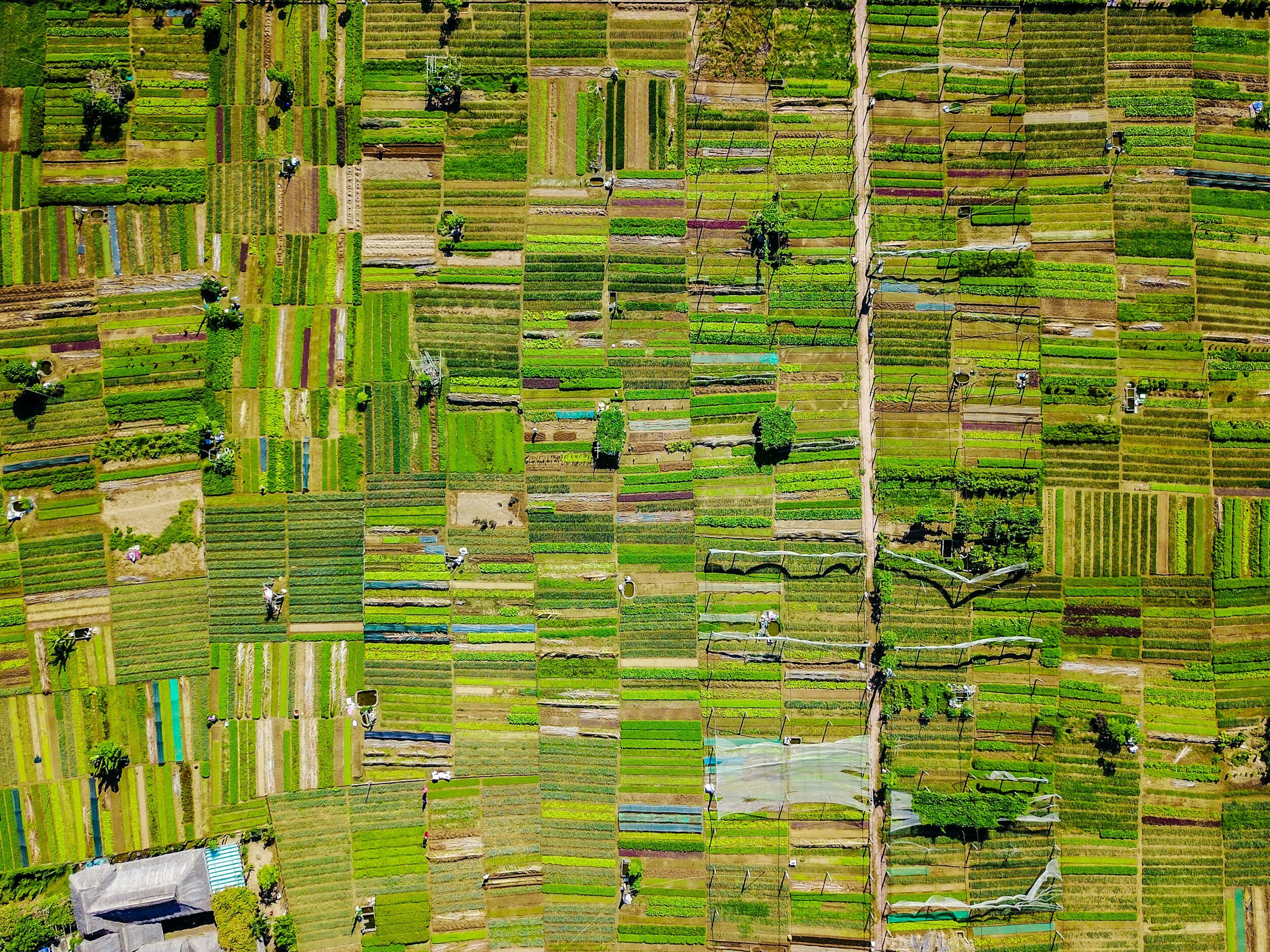
Crop Inspection and More with Orthomosaic Mapping
Maximize your yield by identifying crop stress, pests, diseases, and overall plant health with our orthomosaic mapping. We can create Digital Surface Models (DEM) to accurately map the topography of your field.
With Drone Photogrammetry, we can also create an orthomosaic map to inspect a field over time to ensure proper irrigation, crop growth, and more.

Plant Health at a Glance
Rapidly visualize the state of your field with our plant health reports